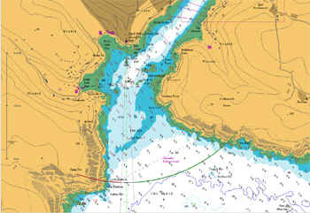
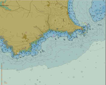
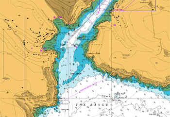
Accueil compagnie   points de vente tech support
achat contact tarif anglais downloads
 
sunseeker

plaisance


seaPro lite


seaPro standard


seaPro performance


seaPro plus


professionnel


seaPro pêche


seaPro pro


seaPro patrol


PI3000 passenger info


mises à niveau


Logiciel et matériel


cartes et données


Livecharts (vectorielles)


ARCS (raster)


S57 (ENC vectorielles)


Navionics (vectorielles)


Produits Admiralty ADP


ATT - Total Tides


  DLRS- Radio Signals  
  DLL List of Lights  
  Produits Admiralty Digital  

développement oem


kit de cartographie oem


matériel


Récepteurs AIS


Transpondeurs AIS


Convertisseurs USB/série


Récepteur Navtex 2


météo  
World-wide Charting

seaPro is a ‘multi-fuel’ charting system that utilizes both vector and raster chart formats to provide you with the best choice of quality charts wherever you are in the world. Simply select the charts that suits your geographic location and format preference.

Charts supported by Euronav offer quality, detail, accuracy and coverage in standard formats that are regularly updated.

For GIS (Geographical Information System) users, Livechart and S57 vector charts are also available in various formats such as GXF and Mainfo Further information on GIS data


Vector chart formats
Two basic types of vector charts - Livechart, S57 data (Primar & UK HO)
Livecharts - are quality vectored charts that faithfully reproduce the color, accuracy and detail of standard hydrographic office paper charts in a vectored and layered format offering total flexibility not possible with paper charts. Seamless chart selection and the ability to automatically select detail relevant to zoom level or as defined by the user.


Livechart vector chart
   

For a full list of the chart packs available please see the price list- (click on the pack to see the coverage available).

A complete Livechart catalogue is also available within seaPro and on the seaPro demo dowload.

S57
- is digital data produced by hydrographic offices and other official sources of chart data. This chart format will eventually replace paper charts. Although availability world wide is limited, coverage is rapidly improving especially in Northern Europe and the USA. S57 charts are supplied either in an encoded format (copy protected) or in a non-encoded form.

Euronav is a distributor for both Primar and the UKHO S57 data.
 
Prices & more information on S57/ENC

 
S57 vector chart
   
Raster chart formats
 

Raster charts are simply made by scanning a paper chart (or in the case of ARCS the original photo masters) and then geo-referenced. The advantage of raster charts is that they are an exact replica of the original paper chart, with no change of data being left off. The downside is that they are just an image, and cannot give the facilities a vector chart can give.

They are relatively low cost to produce, and coverage is consequently very good.


HCRF format:

ARCS - are official raster charts produced by the British Admiralty which offer world-wide coverage. An ARCS catalogue is provided within seaPro and on the seaPro demo CD.

The charts can either be purchased outright (skipper service) or leased with an update service for a year (Navigator service)).

Seafarer - are official raster charts produced by the Australian Hydrographic Office which cover Australasian waters.
.
NZ Mariner - New Zealand Hydrographic Office Charts.

BSB - Available from a number of manufacturers throughout the world, the prime supplier is Maptech (especially in the USA) including the new BSB 4 version

Note: There are a number of BSB 'dialects', most are supported but compliance with non-Maptech BSB cannot be guaranteed.

Euronav is a distributor for the above products

Maptech PCX - some older chart formats such as PCX are supported, but not recommended due to the age of the data.


There are two main types of raster chart formats (there are others but they are of little significance) HCRF or more commonly known as ARCS - developed by the UKHO and BSB developed by NOAA.

Both formats are used by a number of different suppliers

 
ARCS raster chart


Copyright Euronav 1991-2009
k